
The spine of the route
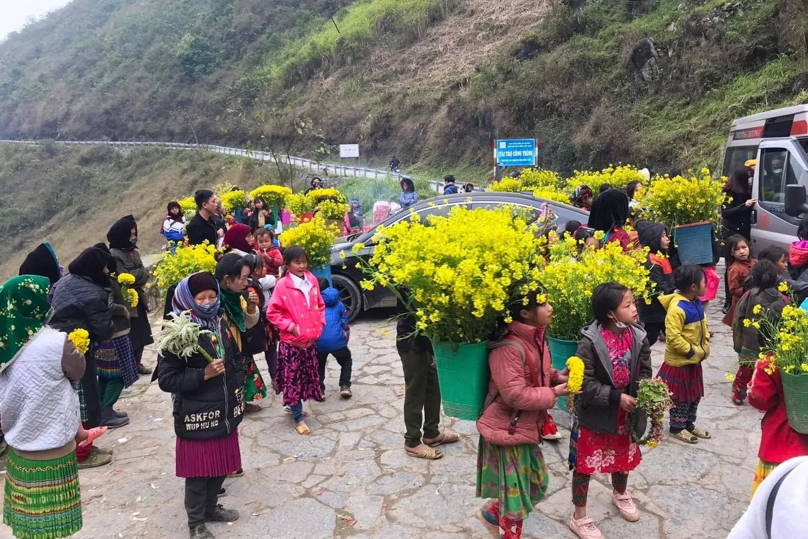
Everything starts in Ha Giang city, at about 100 metres above sea level. Within an hour you are on Bac Sum Pass climbing to Heaven Gate, and from there the road stays high until the final descent three or four days later.
| Section | Distance | What it is |
|---|---|---|
| Ha Giang → Quan Ba | 45 km | Bac Sum Pass, Heaven Gate, the twin Fairy Mountains, Lung Khuy Cave |
| Quan Ba → Yen Minh | 50 km | Pine forest, the first villages on the plateau |
| Yen Minh → Dong Van | 55 km | Tham Ma Pass switchbacks, Lao Sa village, the Vuong family palace |
| Dong Van → Meo Vac | 25 km | Ma Pi Leng Pass and the Skywalk — the best 25 km on the loop |
| Meo Vac → Nho Que | 10 km | The descent to the boat pier for Tu San Canyon |
| Meo Vac → Ha Giang, direct | 150 km | M Pass, Mau Due, Yen Minh — the standard way home |
| Meo Vac → Du Gia → Ha Giang | 210 km | Sa Ly Pass, Lung Ho viewpoint, waterfall, Duong Thuong valley |
How the packages use it
Two days
Ha Giang to Meo Vac in one long push, Ma Pi Leng at sunset, boat the next morning and straight home. You see the plateau, you do not linger on it. Detail on the two-day itinerary.
Three days
The same road split sensibly: a short first day to Yen Minh, the whole of day two for Dong Van and Ma Pi Leng, the boat and the ride home on day three. This is the version most people should book — see the three-day itinerary.
Four days
Adds Lung Cu Flag Tower on day two and swaps the direct road home for the Du Gia valley. Roughly 130 extra kilometres and the quietest riding on the loop: the four-day itinerary.
Stops worth the detour
- Lung Khuy Cave, twenty minutes off the road above Quan Ba. Empty most days, and the walk up has better views than the cave.
- Lo Lo Chai village below Lung Cu — clay houses, coffee in a courtyard, and one of the few places the Lo Lo minority still live in numbers.
- The Ma Pi Leng Skywalk, a footpath cut into the cliff below the road. Forty minutes on foot and the reason people book this trip twice.
- Lung Ho viewpoint on the Du Gia road. Unsigned, unmarked and better than several stops that have car parks.
- Lung Tam weaving village on the way back, where Hmong women still dye hemp with indigo.
Which direction
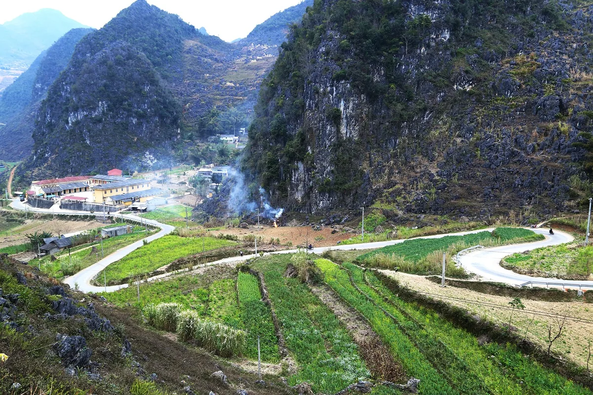
Almost everyone rides clockwise — Quan Ba, Yen Minh, Dong Van, Meo Vac — and there is a reason. Clockwise puts you on the outside of the cliff for less of Ma Pi Leng, and it reaches the pass in the afternoon when the light comes down the gorge rather than into your eyes.